The Chantry, The Street
Introduction
The photograph on this page of The Chantry, The Street by Simon Carey as part of the Geograph project.
The Geograph project started in 2005 with the aim of publishing, organising and preserving representative images for every square kilometre of Great Britain, Ireland and the Isle of Man.

There are currently over 7.5m images from over 14,400 individuals and you can help contribute to the project by visiting https://www.geograph.org.uk
The Chantry, The Street
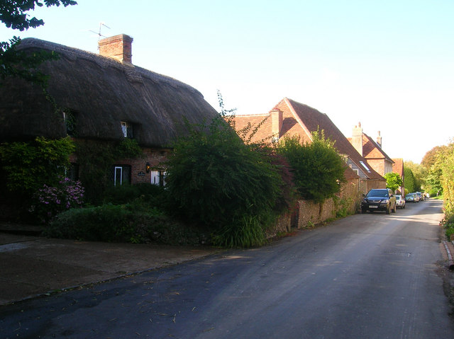
Image: © Simon Carey Taken: 24 Aug 2008
Thatched cottage on the main village street which includes a number of converted barns and other farm outbuildings.
Images are licensed for reuse under creativecommons.org/licenses/by-sa/2.0
Image Location
Latitude
50.818996
Longitude
0.191677