Puncknowle: playing field
Introduction
The photograph on this page of Puncknowle: playing field by Chris Downer as part of the Geograph project.
The Geograph project started in 2005 with the aim of publishing, organising and preserving representative images for every square kilometre of Great Britain, Ireland and the Isle of Man.

There are currently over 7.5m images from over 14,400 individuals and you can help contribute to the project by visiting https://www.geograph.org.uk
Puncknowle: playing field
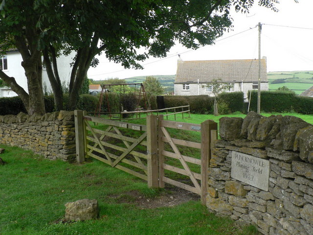
Image: © Chris Downer Taken: 24 Aug 2008
A pleasant facility dated 1987 on the stone; there is also a slide out of picture to the right. Kites and dogs are disallowed.
Images are licensed for reuse under creativecommons.org/licenses/by-sa/2.0
Image Location


Leaflet Map data © OpenStreetMap
Latitude
50.695103
Longitude
-2.656749