St Teath: Westdowns crossroads
Introduction
The photograph on this page of St Teath: Westdowns crossroads by Martin Bodman as part of the Geograph project.
The Geograph project started in 2005 with the aim of publishing, organising and preserving representative images for every square kilometre of Great Britain, Ireland and the Isle of Man.

There are currently over 7.5m images from over 14,400 individuals and you can help contribute to the project by visiting https://www.geograph.org.uk
St Teath: Westdowns crossroads
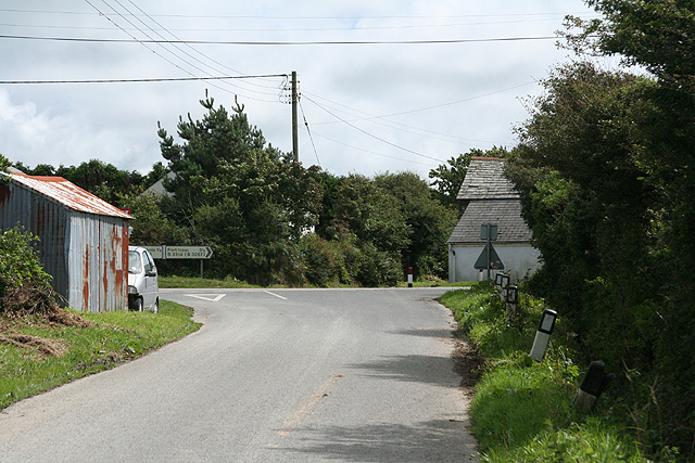
Image: © Martin Bodman Taken: 22 Aug 2008
The lane from Treligga meets the B3314 Delabole-Pendoggett road: right for Port Isaac
Images are licensed for reuse under creativecommons.org/licenses/by-sa/2.0
Image Location


Leaflet Map data © OpenStreetMap
Latitude
50.61217
Longitude
-4.745257