Minehead
Introduction
The photograph on this page of Minehead by Pam Brophy as part of the Geograph project.
The Geograph project started in 2005 with the aim of publishing, organising and preserving representative images for every square kilometre of Great Britain, Ireland and the Isle of Man.

There are currently over 7.5m images from over 14,400 individuals and you can help contribute to the project by visiting https://www.geograph.org.uk
Minehead
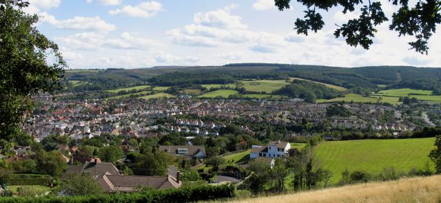
Image: © Pam Brophy Taken: Unknown
This photo was taken from the road where it bends sharply in the square, looking towards the south east corner of the square, and the view is a diagonal strip across the square.
Images are licensed for reuse under creativecommons.org/licenses/by-sa/2.0
Image Location


Leaflet Map data © OpenStreetMap
Latitude
51.208298
Longitude
-3.483015