Green Chain Link and National Cycle Route
Introduction
The photograph on this page of Green Chain Link and National Cycle Route by John Davies as part of the Geograph project.
The Geograph project started in 2005 with the aim of publishing, organising and preserving representative images for every square kilometre of Great Britain, Ireland and the Isle of Man.

There are currently over 7.5m images from over 14,400 individuals and you can help contribute to the project by visiting https://www.geograph.org.uk
Green Chain Link and National Cycle Route
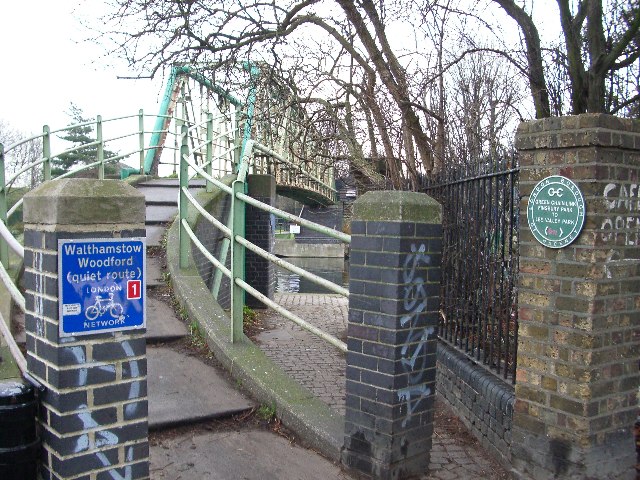
Image: © John Davies Taken: 20 Dec 2005
The footbridge over the Lee Navigation at Springfield Marina provides a delightful route for The Green Chain Link walk and National Cycle Route 1.
Images are licensed for reuse under creativecommons.org/licenses/by-sa/2.0
Image Location


Leaflet Map data © OpenStreetMap
Latitude
51.573008
Longitude
-0.059138