Auchinstarry Basin marina and towpath
Introduction
The photograph on this page of Auchinstarry Basin marina and towpath by Renata Edge as part of the Geograph project.
The Geograph project started in 2005 with the aim of publishing, organising and preserving representative images for every square kilometre of Great Britain, Ireland and the Isle of Man.

There are currently over 7.5m images from over 14,400 individuals and you can help contribute to the project by visiting https://www.geograph.org.uk
Auchinstarry Basin marina and towpath
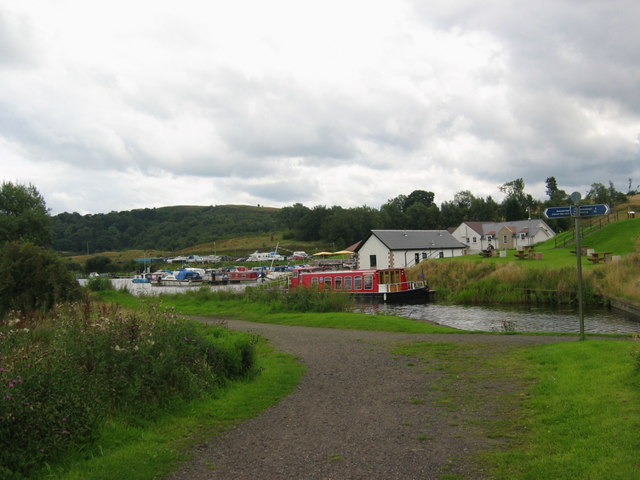
Image: © Renata Edge Taken: 16 Aug 2008
Having passed on foot through Bridge 16 on the Forth & Clyde Canal, there is a good view of the marina, and the towpath leads towards the moorings.
Images are licensed for reuse under creativecommons.org/licenses/by-sa/2.0
Image Location
Latitude
55.968192
Longitude
-4.050735