Christchurch Road, Purley - Eastern portion
Introduction
The photograph on this page of Christchurch Road, Purley - Eastern portion by Dr Neil Clifton as part of the Geograph project.
The Geograph project started in 2005 with the aim of publishing, organising and preserving representative images for every square kilometre of Great Britain, Ireland and the Isle of Man.

There are currently over 7.5m images from over 14,400 individuals and you can help contribute to the project by visiting https://www.geograph.org.uk
Christchurch Road, Purley - Eastern portion
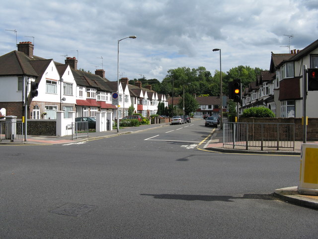
Image: © Dr Neil Clifton Taken: 23 Aug 2008
Christchurch Road forms a right-angle crossing with Brighton Road: this shows the eastern part of Christchurch Road. Strangely, this road has its name BEFORE the church of the same name was built nearby.
Images are licensed for reuse under creativecommons.org/licenses/by-sa/2.0
Image Location
Latitude
51.34078
Longitude
-0.111894