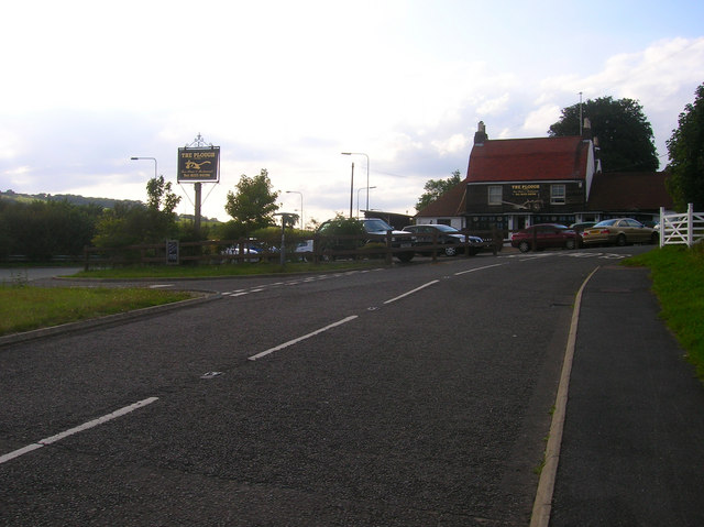
The Plough Inn
Introduction
The photograph on this page of The Plough Inn by Simon Carey as part of the Geograph project.
The Geograph project started in 2005 with the aim of publishing, organising and preserving representative images for every square kilometre of Great Britain, Ireland and the Isle of Man.
There are currently over 7.5m images from over 14,400 individuals and you can help contribute to the project by visiting https://www.geograph.org.uk

Image: © Simon Carey Taken: 22 Aug 2008
An old coaching inn established in the late 1770s to cater for the newly turnpiked London-Brighton route that passed through the middle of the village then onto Clayton, Burgess Hill and Cuckfield. In the early 19th century another turnpike was constructed from here to Sayers Common which the inn also benefited from. This later became the main A23 trunk road. The inn remained near the junction of the A23 and A273 until the early 1990s when it was remade as part of a programme of turning any remaining stretches of single into dual carriageways. The A23 and A273 now bypass the village. However, the inn retains its popularity particularly its Italian restaurant.

