View of Moor Lane from Lynch Lane gateway
Introduction
The photograph on this page of View of Moor Lane from Lynch Lane gateway by Sarah Smith as part of the Geograph project.
The Geograph project started in 2005 with the aim of publishing, organising and preserving representative images for every square kilometre of Great Britain, Ireland and the Isle of Man.

There are currently over 7.5m images from over 14,400 individuals and you can help contribute to the project by visiting https://www.geograph.org.uk
View of Moor Lane from Lynch Lane gateway
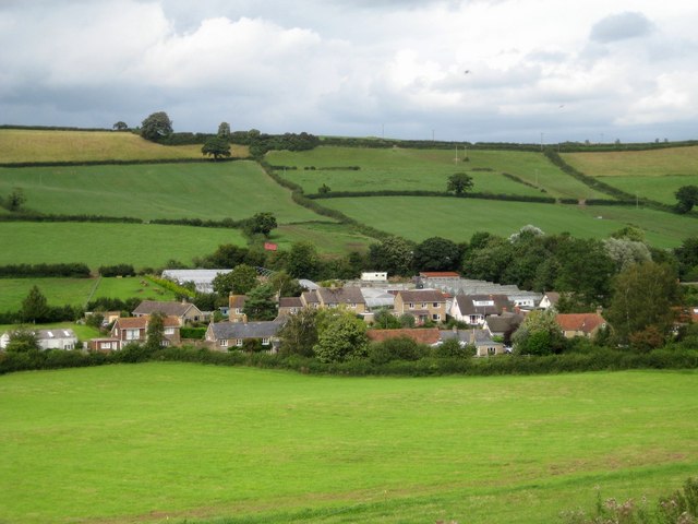
Image: © Sarah Smith Taken: 21 Aug 2008
This is the end of Moor Lane where it turns into a footpath (to the left) alongside Chinnock Brook to North Lane Hardington Mandeville. The plastic tunnels of Moor-End Nursery can be seen.
Images are licensed for reuse under creativecommons.org/licenses/by-sa/2.0
Image Location


Leaflet Map data © OpenStreetMap
Latitude
50.907142
Longitude
-2.689454