Bournemouth: former DSS office
Introduction
The photograph on this page of Bournemouth: former DSS office by Chris Downer as part of the Geograph project.
The Geograph project started in 2005 with the aim of publishing, organising and preserving representative images for every square kilometre of Great Britain, Ireland and the Isle of Man.

There are currently over 7.5m images from over 14,400 individuals and you can help contribute to the project by visiting https://www.geograph.org.uk
Bournemouth: former DSS office
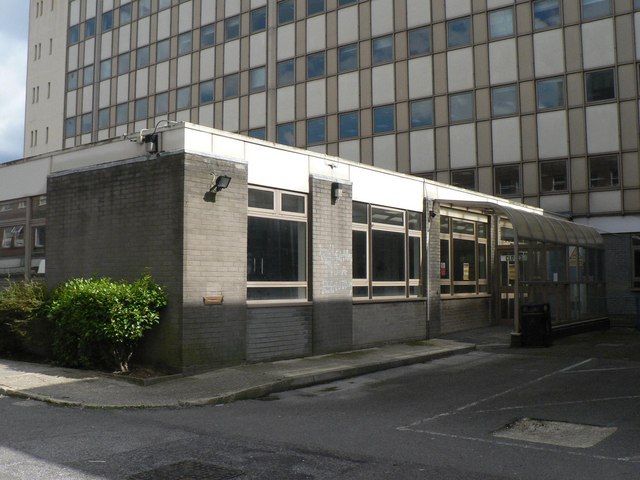
Image: © Chris Downer Taken: 22 Aug 2008
Detail round the back of the frontage of Image, showing the public entrance of the Social Security office, whose address was actually 20-28 Cotlands Road, the road round the back. It closed on 30 November 2007 and was re-housed in Tamarisk House, the brand new Image
Images are licensed for reuse under creativecommons.org/licenses/by-sa/2.0
Image Location
Latitude
50.722774
Longitude
-1.863383