Burnham Parish Church - St Peters
Introduction
The photograph on this page of Burnham Parish Church - St Peters by Linda Bailey as part of the Geograph project.
The Geograph project started in 2005 with the aim of publishing, organising and preserving representative images for every square kilometre of Great Britain, Ireland and the Isle of Man.

There are currently over 7.5m images from over 14,400 individuals and you can help contribute to the project by visiting https://www.geograph.org.uk
Burnham Parish Church - St Peters
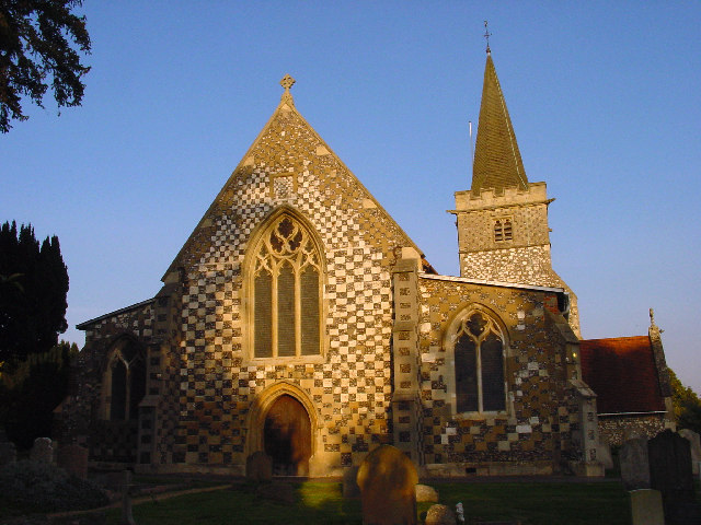
Image: © Linda Bailey Taken: 20 Oct 2005
The village of Burnham was mentioned in the Domesday Book. And the first church was probably built about 500 AD. The present building was probably started in the 12th Century.
Images are licensed for reuse under creativecommons.org/licenses/by-sa/2.0
Image Location


Leaflet Map data © OpenStreetMap
Latitude
51.532857
Longitude
-0.660629