Prospect Square, Westbury
Introduction
The photograph on this page of Prospect Square, Westbury by Phil Williams as part of the Geograph project.
The Geograph project started in 2005 with the aim of publishing, organising and preserving representative images for every square kilometre of Great Britain, Ireland and the Isle of Man.

There are currently over 7.5m images from over 14,400 individuals and you can help contribute to the project by visiting https://www.geograph.org.uk
Prospect Square, Westbury
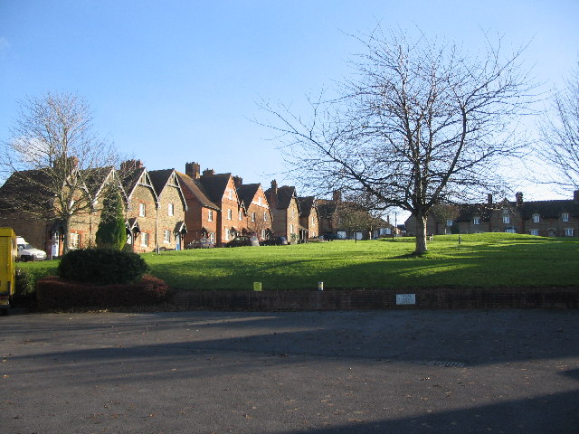
Image: © Phil Williams Taken: 17 Dec 2005
Looking southeast to Prospect Square which lies to the south of Bratton Road. This was laid out by Abraham Laverton, and comprises 39 brick and stone built houses, of which 7 are almshouses, around three sides of an open space, formerly used as allotment gardens.
Images are licensed for reuse under creativecommons.org/licenses/by-sa/2.0
Image Location


Leaflet Map data © OpenStreetMap
Latitude
51.25892
Longitude
-2.18195