Signs at Alwinton
Introduction
The photograph on this page of Signs at Alwinton by Stephen McKay as part of the Geograph project.
The Geograph project started in 2005 with the aim of publishing, organising and preserving representative images for every square kilometre of Great Britain, Ireland and the Isle of Man.

There are currently over 7.5m images from over 14,400 individuals and you can help contribute to the project by visiting https://www.geograph.org.uk
Signs at Alwinton
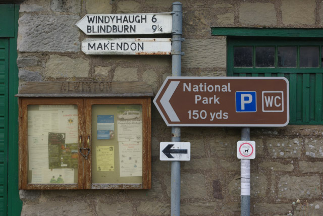
Image: © Stephen McKay Taken: 17 Aug 2008
As well as the parish notice case, different styles of signs point to the road leading up Upper Coquetdale. Windyhaugh, Blindburn and Makendon are no more than isolated farmsteads.
Images are licensed for reuse under creativecommons.org/licenses/by-sa/2.0
Image Location
Latitude
55.351017
Longitude
-2.126133