What Is It?
Introduction
The photograph on this page of What Is It? by Martin Addison as part of the Geograph project.
The Geograph project started in 2005 with the aim of publishing, organising and preserving representative images for every square kilometre of Great Britain, Ireland and the Isle of Man.

There are currently over 7.5m images from over 14,400 individuals and you can help contribute to the project by visiting https://www.geograph.org.uk
What Is It?
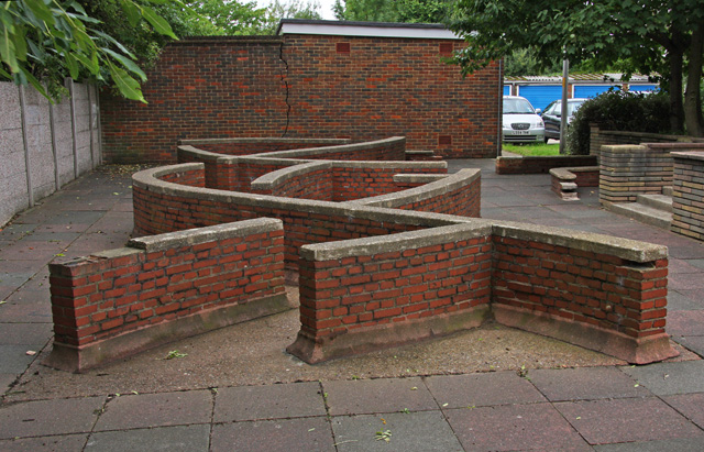
Image: © Martin Addison Taken: 21 Aug 2008
I'm not sure whether this was intended as a children's play area in the 1960's or as a sculpture in brick. It probably works better as the latter, especially as there is a proper playground around the corner by Park Road. Behind are garages for the residents of Propect Ring.
Images are licensed for reuse under creativecommons.org/licenses/by-sa/2.0
Image Location
Latitude
51.590584
Longitude
-0.167962