Between Two Bridges
Introduction
The photograph on this page of Between Two Bridges by David Lally as part of the Geograph project.
The Geograph project started in 2005 with the aim of publishing, organising and preserving representative images for every square kilometre of Great Britain, Ireland and the Isle of Man.

There are currently over 7.5m images from over 14,400 individuals and you can help contribute to the project by visiting https://www.geograph.org.uk
Between Two Bridges
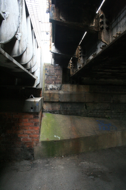
Image: © David Lally Taken: 20 Aug 2008
Google maps and maps.live show Montpelier Road and Cavendish Street as continuous. Beware anyone who tries to drive along as, apart from many barriers in the way, the headroom is only about 6 feet.
Images are licensed for reuse under creativecommons.org/licenses/by-sa/2.0
Image Location
Latitude
52.936398
Longitude
-1.181632