Lone Pine - Halves Lane East Coker
Introduction
The photograph on this page of Lone Pine - Halves Lane East Coker by Sarah Smith as part of the Geograph project.
The Geograph project started in 2005 with the aim of publishing, organising and preserving representative images for every square kilometre of Great Britain, Ireland and the Isle of Man.

There are currently over 7.5m images from over 14,400 individuals and you can help contribute to the project by visiting https://www.geograph.org.uk
Lone Pine - Halves Lane East Coker
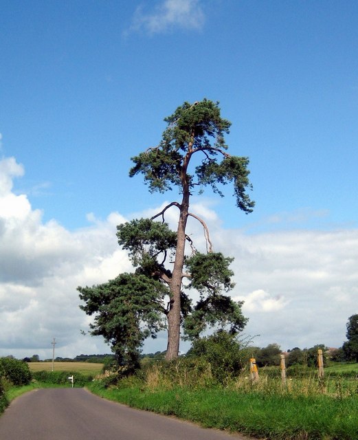
Image: © Sarah Smith Taken: 21 Aug 2008
Halves Lane runs from East Coker to West Coker. The lone pine tree is near the East Coker village hall. The signpost in the photograph is the turning up Lodge Hill to Pendomer.
Images are licensed for reuse under creativecommons.org/licenses/by-sa/2.0
Image Location
Latitude
50.913417
Longitude
-2.661667