Footpath by the B1113
Introduction
The photograph on this page of Footpath by the B1113 by Andrew Hill as part of the Geograph project.
The Geograph project started in 2005 with the aim of publishing, organising and preserving representative images for every square kilometre of Great Britain, Ireland and the Isle of Man.

There are currently over 7.5m images from over 14,400 individuals and you can help contribute to the project by visiting https://www.geograph.org.uk
Footpath by the B1113
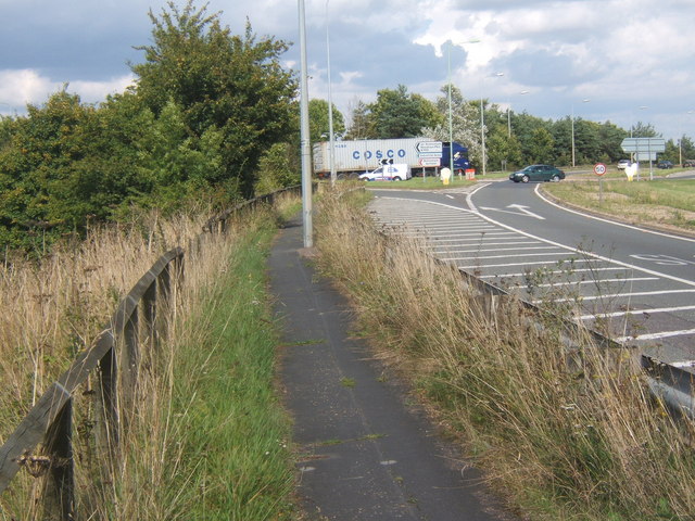
Image: © Andrew Hill Taken: 21 Aug 2008
Turn left for Great Blakenham and the continuation of the B1113 to Needham Market and Stowmarket. Ahead, curving right for the A14 junction.
Images are licensed for reuse under creativecommons.org/licenses/by-sa/2.0
Image Location
Latitude
52.10257
Longitude
1.097112