The Hightae Inn
Introduction
The photograph on this page of The Hightae Inn by Mark Cuthbertson as part of the Geograph project.
The Geograph project started in 2005 with the aim of publishing, organising and preserving representative images for every square kilometre of Great Britain, Ireland and the Isle of Man.

There are currently over 7.5m images from over 14,400 individuals and you can help contribute to the project by visiting https://www.geograph.org.uk
The Hightae Inn
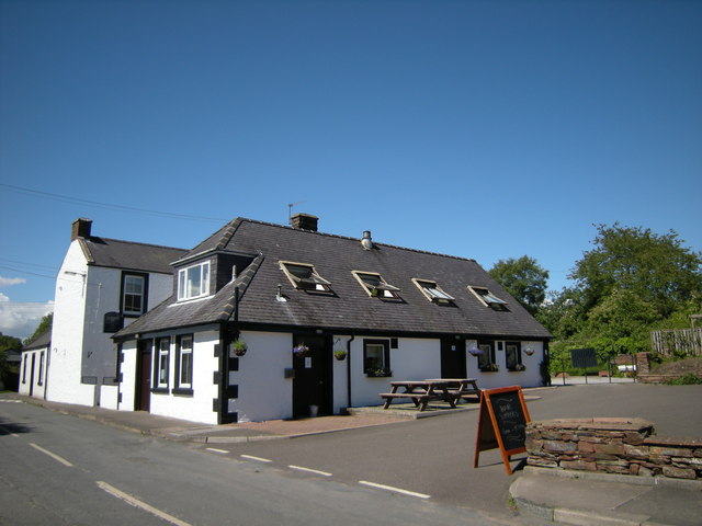
Image: © Mark Cuthbertson Taken: 4 Jul 2008
Situated in the village of Hightae - country pub offering home cooked evening meals, en-suite B&B accommodation. Hightae is one of the historic Royal Four Towns, including Greenhill, Heck and Smallholm, and formed when Robert the Bruce came to the throne and gifted the lands to the inhabitants.
Images are licensed for reuse under creativecommons.org/licenses/by-sa/2.0
Image Location
Latitude
55.095593
Longitude
-3.420931