Remains of St. Kentigern's Parish Church, Penicuik
Introduction
The photograph on this page of Remains of St. Kentigern's Parish Church, Penicuik by Morley Sewell as part of the Geograph project.
The Geograph project started in 2005 with the aim of publishing, organising and preserving representative images for every square kilometre of Great Britain, Ireland and the Isle of Man.

There are currently over 7.5m images from over 14,400 individuals and you can help contribute to the project by visiting https://www.geograph.org.uk
Remains of St. Kentigern's Parish Church, Penicuik
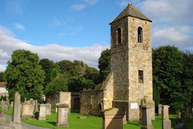
Image: © Morley Sewell Taken: 11 Aug 2008
The prereformation St Kentigern's church, which was already in a poor state of repair in 1648, and its graveyard lies behind the present St. Mungo's parish church The tower dates to 1743.
Images are licensed for reuse under creativecommons.org/licenses/by-sa/2.0
Image Location
Latitude
55.826923
Longitude
-3.21888