Ruins of Clarendon Palace
Introduction
The photograph on this page of Ruins of Clarendon Palace by Maigheach-gheal as part of the Geograph project.
The Geograph project started in 2005 with the aim of publishing, organising and preserving representative images for every square kilometre of Great Britain, Ireland and the Isle of Man.

There are currently over 7.5m images from over 14,400 individuals and you can help contribute to the project by visiting https://www.geograph.org.uk
Ruins of Clarendon Palace
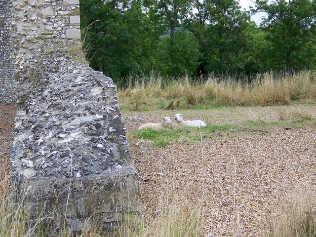
Image: © Maigheach-gheal Taken: 16 Aug 2008
The site is part of what was once the largest medieval deer park in England and the site of the ruins of Clarendon Palace, which was occupied throughout the middle ages. A small flock of sheep have been introduced to the site to keep down the vegetation.
Images are licensed for reuse under creativecommons.org/licenses/by-sa/2.0
Image Location


Leaflet Map data © OpenStreetMap
Latitude
51.070665
Longitude
-1.741903