Chelveston Cliffs
Introduction
The photograph on this page of Chelveston Cliffs by Will Lovell as part of the Geograph project.
The Geograph project started in 2005 with the aim of publishing, organising and preserving representative images for every square kilometre of Great Britain, Ireland and the Isle of Man.

There are currently over 7.5m images from over 14,400 individuals and you can help contribute to the project by visiting https://www.geograph.org.uk
Chelveston Cliffs
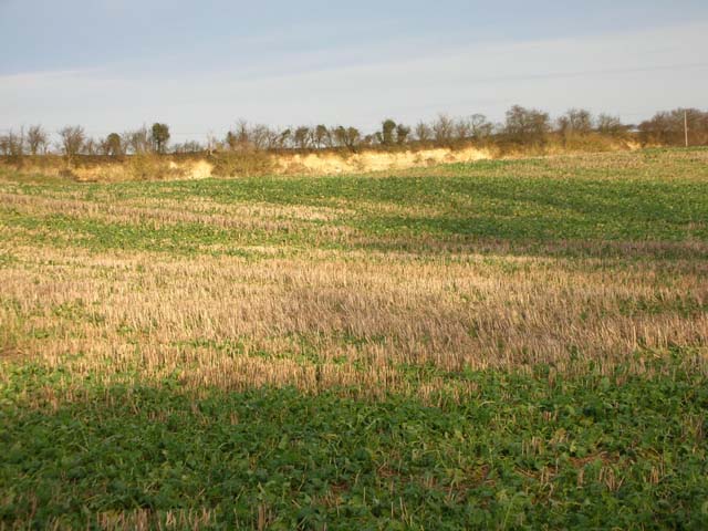
Image: © Will Lovell Taken: 15 Dec 2005
The cliffs are the site of an old quarry. The limestone was used in the early 20th century as flux in iron furnaces. The crop in the foreground is oil seed rape growing through corn stubble.
Images are licensed for reuse under creativecommons.org/licenses/by-sa/2.0
Image Location


Leaflet Map data © OpenStreetMap
Latitude
52.317584
Longitude
-0.565178