Groves Close and footpath
Introduction
The photograph on this page of Groves Close and footpath by Peter Facey as part of the Geograph project.
The Geograph project started in 2005 with the aim of publishing, organising and preserving representative images for every square kilometre of Great Britain, Ireland and the Isle of Man.

There are currently over 7.5m images from over 14,400 individuals and you can help contribute to the project by visiting https://www.geograph.org.uk
Groves Close and footpath
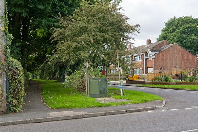
Image: © Peter Facey Taken: 20 Aug 2008
Looking across Downs Road. The footpath is a continuation of Stainers Lane, and runs to Lower Road. It was doubtless there long before the Close.
Images are licensed for reuse under creativecommons.org/licenses/by-sa/2.0
Image Location
Latitude
51.119709
Longitude
-1.339147