The end of Damgate Lane
Introduction
The photograph on this page of The end of Damgate Lane by Evelyn Simak as part of the Geograph project.
The Geograph project started in 2005 with the aim of publishing, organising and preserving representative images for every square kilometre of Great Britain, Ireland and the Isle of Man.

There are currently over 7.5m images from over 14,400 individuals and you can help contribute to the project by visiting https://www.geograph.org.uk
The end of Damgate Lane
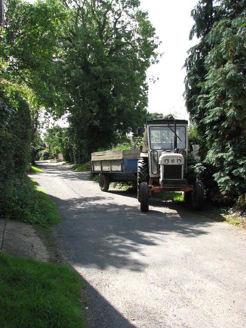
Image: © Evelyn Simak Taken: 20 Aug 2008
Damgate Lane turns off Staithe Road, leading in northerly direction; it peters out into a track > http://www.geograph.org.uk/photo/929580 by Moregrove Farm.
Images are licensed for reuse under creativecommons.org/licenses/by-sa/2.0
Image Location
Latitude
52.714484
Longitude
1.635103