St Mary's churchyard
Introduction
The photograph on this page of St Mary's churchyard by Robin Drayton as part of the Geograph project.
The Geograph project started in 2005 with the aim of publishing, organising and preserving representative images for every square kilometre of Great Britain, Ireland and the Isle of Man.

There are currently over 7.5m images from over 14,400 individuals and you can help contribute to the project by visiting https://www.geograph.org.uk
St Mary's churchyard
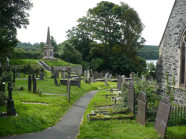
Image: © Robin Drayton Taken: 15 Aug 2008
The prominent memorial is to those who died in the construction and reconstruction of the nearby Britannia Bridge. http://www.geograph.org.uk/photo/926859
Images are licensed for reuse under creativecommons.org/licenses/by-sa/2.0
Image Location


Leaflet Map data © OpenStreetMap
Latitude
53.217756
Longitude
-4.191975