Dry stone wall boundaries
Introduction
The photograph on this page of Dry stone wall boundaries by Wendy North as part of the Geograph project.
The Geograph project started in 2005 with the aim of publishing, organising and preserving representative images for every square kilometre of Great Britain, Ireland and the Isle of Man.

There are currently over 7.5m images from over 14,400 individuals and you can help contribute to the project by visiting https://www.geograph.org.uk
Dry stone wall boundaries
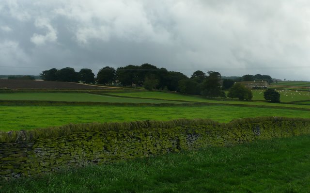
Image: © Wendy North Taken: 19 Aug 2008
Here this side of the dry stone walls are a rich mossy green as they all face north. New Lodge Farm can be seen in the distance under this grey and stormy sky.
Images are licensed for reuse under creativecommons.org/licenses/by-sa/2.0
Image Location
Latitude
53.511369
Longitude
-1.61695