Doddershall House
Introduction
The photograph on this page of Doddershall House by Andy Gryce as part of the Geograph project.
The Geograph project started in 2005 with the aim of publishing, organising and preserving representative images for every square kilometre of Great Britain, Ireland and the Isle of Man.

There are currently over 7.5m images from over 14,400 individuals and you can help contribute to the project by visiting https://www.geograph.org.uk
Doddershall House
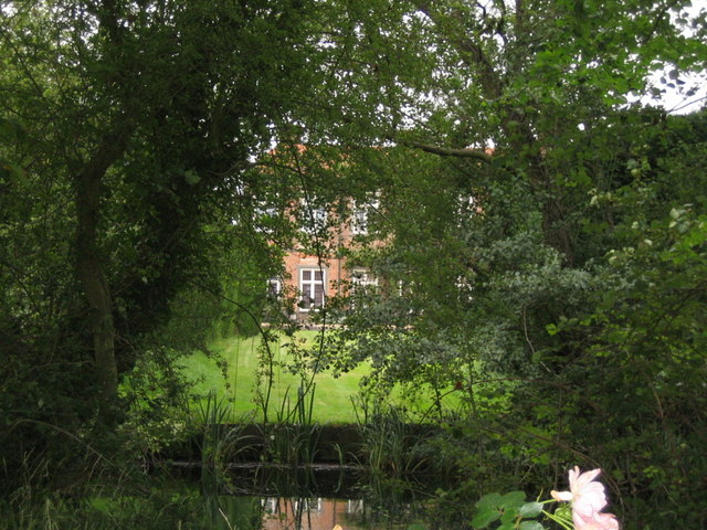
Image: © Andy Gryce Taken: 17 Aug 2008
This is the south-west side of Doddershall House shielded by the trees on either side of the moat in the foreground and which runs along the same side of the house. The house was built in the early sixteenth century and is a listed building, see Image This photograph is taken from the unclassified road from the village of Quainton.
Images are licensed for reuse under creativecommons.org/licenses/by-sa/2.0
Image Location


Leaflet Map data © OpenStreetMap
Latitude
51.87429
Longitude
-0.955269