Fence, Doddershall House
Introduction
The photograph on this page of Fence, Doddershall House by Andy Gryce as part of the Geograph project.
The Geograph project started in 2005 with the aim of publishing, organising and preserving representative images for every square kilometre of Great Britain, Ireland and the Isle of Man.

There are currently over 7.5m images from over 14,400 individuals and you can help contribute to the project by visiting https://www.geograph.org.uk
Fence, Doddershall House
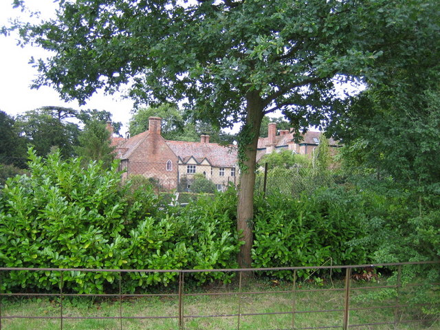
Image: © Andy Gryce Taken: 17 Aug 2008
This is part of the fence and hedge on the north-west side of Doddershall House. Beyond the fence is the house itself which was built in the early sixteenth century, see Image, and which is in the next grid square.
Images are licensed for reuse under creativecommons.org/licenses/by-sa/2.0
Image Location
Latitude
51.875646
Longitude
-0.95611