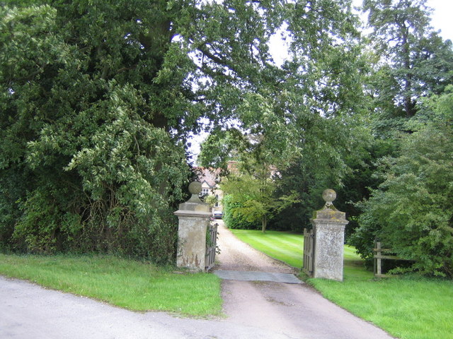
Entrance, Doddershall House
Introduction
The photograph on this page of Entrance, Doddershall House by Andy Gryce as part of the Geograph project.
The Geograph project started in 2005 with the aim of publishing, organising and preserving representative images for every square kilometre of Great Britain, Ireland and the Isle of Man.
There are currently over 7.5m images from over 14,400 individuals and you can help contribute to the project by visiting https://www.geograph.org.uk

Image: © Andy Gryce Taken: 17 Aug 2008
The entrance to Doddershall House faces north-west, and is reached by unclassified roads from the village of Quainton 2.5km to the east. The gate piers are listed, http://www.imagesofengland.org.uk/Details/Default.aspx?id=42207&mode=quick. The house itself, which is in the next grid square, was built around 1510 with a main block and a north-east wing, to which was added a south-west block in the late 17th century. A north-west wing was destroyed in 1789. There is an existing moat on the south side, but originally a quadrangular moat surrounded the house, see Image The house is listed, http://www.imagesofengland.org.uk/Details/Default.aspx?id=42205&mode=quick. The picture on the link website shows the south-east side of the house. For an earlier photo see http://viewfinder.english-heritage.org.uk/search/detail.aspx?uid=84935. Doddershall Manor, one of three manors in the parish of Quainton, passed to Thomas Pigott of Whaddon, Sergeant-at-law, about 1495, who then built the house, and the Pigott family have lived there ever since. Prior to the house being built the manor was Dodereshill or Dodereshull. In 1539 the name for the house was Daddersill, and in 1570 it was Dadersyl Laund.

