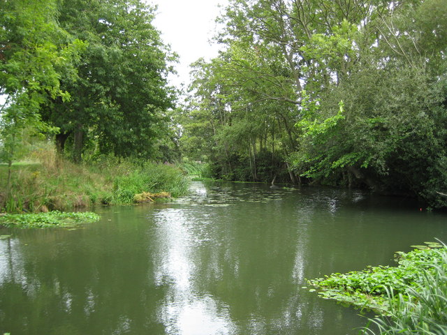
River Ember near Weston Green
Introduction
The photograph on this page of River Ember near Weston Green by Nigel Cox as part of the Geograph project.
The Geograph project started in 2005 with the aim of publishing, organising and preserving representative images for every square kilometre of Great Britain, Ireland and the Isle of Man.
There are currently over 7.5m images from over 14,400 individuals and you can help contribute to the project by visiting https://www.geograph.org.uk

Image: © Nigel Cox Taken: 13 Aug 2008
The River Ember was originally a distributary (the opposite of a tributary) of the River Mole, created when the Mole split into two main channels as it approached its confluence with the River Thames. The northern arm retained the name River Mole while the southern arm became the River Ember. In order to better manage flood water in the Mole a large flood relief channel was eventually built, mainly following the route of the Ember, so this new channel became known as the River Ember. Here, at the northern end of Elmbridge Recreation Ground, is one of the few surviving remnant lengths of channel of the original course of the River Ember, about to flow through Imber Court.

