Crown Estate farmland, Windsor
Introduction
The photograph on this page of Crown Estate farmland, Windsor by Andrew Smith as part of the Geograph project.
The Geograph project started in 2005 with the aim of publishing, organising and preserving representative images for every square kilometre of Great Britain, Ireland and the Isle of Man.

There are currently over 7.5m images from over 14,400 individuals and you can help contribute to the project by visiting https://www.geograph.org.uk
Crown Estate farmland, Windsor
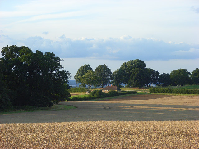
Image: © Andrew Smith Taken: 15 Aug 2008
Looking down towards houses on the road to Flemish Farm from the edge of publicly accessible woodland near Cranbourn Tower.
Images are licensed for reuse under creativecommons.org/licenses/by-sa/2.0
Image Location
Latitude
51.456169
Longitude
-0.638406