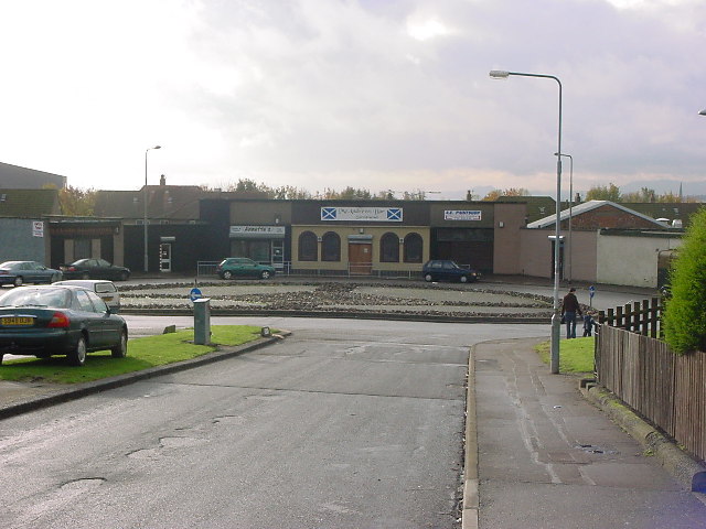
Kirkcaldy, Smeaton, Cedar Avenue
Introduction
The photograph on this page of Kirkcaldy, Smeaton, Cedar Avenue by Kevin O'Kane as part of the Geograph project.
The Geograph project started in 2005 with the aim of publishing, organising and preserving representative images for every square kilometre of Great Britain, Ireland and the Isle of Man.
There are currently over 7.5m images from over 14,400 individuals and you can help contribute to the project by visiting https://www.geograph.org.uk

Image: © Kevin O'Kane Taken: 26 Oct 2004
Smeaton is a housing scheme in North Kirkcaldy. Smeaton is a deprived neighbour and is quite high in the Scottish Executive Multiple Index of Deprivation. The streets are all named after trees, sadly no Cedars are growing on this street. Since the photo was taken work has been done to the roundabout. NT2893 also contains part of Dunnikier Park, Pannie Den Wood parts of Overton too.

