Farmland near Bincombe
Introduction
The photograph on this page of Farmland near Bincombe by Nigel Mykura as part of the Geograph project.
The Geograph project started in 2005 with the aim of publishing, organising and preserving representative images for every square kilometre of Great Britain, Ireland and the Isle of Man.

There are currently over 7.5m images from over 14,400 individuals and you can help contribute to the project by visiting https://www.geograph.org.uk
Farmland near Bincombe
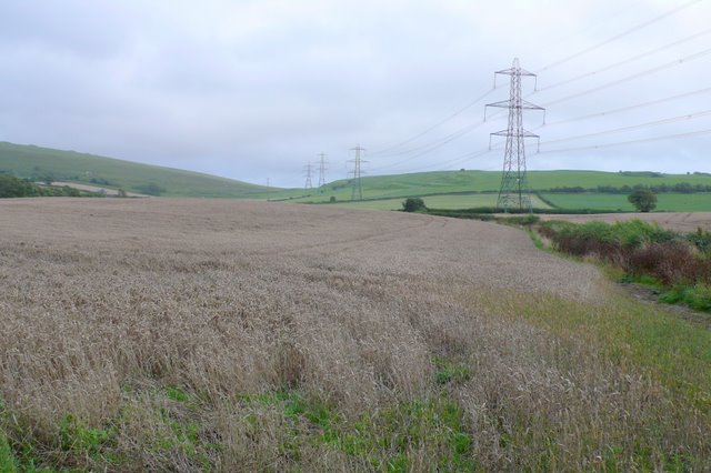
Image: © Nigel Mykura Taken: 18 Aug 2008
View east towards Chalbury Hill fort from Icen Lane.
Images are licensed for reuse under creativecommons.org/licenses/by-sa/2.0
Image Location


Leaflet Map data © OpenStreetMap
Latitude
50.653923
Longitude
-2.44639