The road to McInroy's Point
Introduction
The photograph on this page of The road to McInroy's Point by Sandy Gemmill as part of the Geograph project.
The Geograph project started in 2005 with the aim of publishing, organising and preserving representative images for every square kilometre of Great Britain, Ireland and the Isle of Man.

There are currently over 7.5m images from over 14,400 individuals and you can help contribute to the project by visiting https://www.geograph.org.uk
The road to McInroy's Point
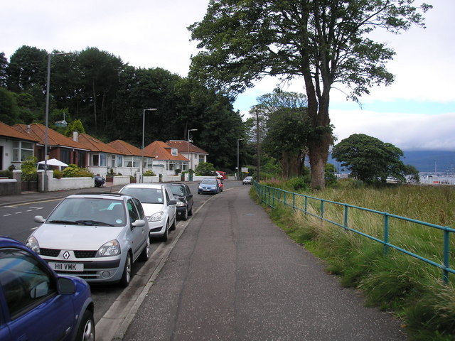
Image: © Sandy Gemmill Taken: 17 Aug 2008
The view of the road which follows the shoreline from Gourock to McInroy's Point, from where the Western Ferries run a service to Hunter's Quay.
Images are licensed for reuse under creativecommons.org/licenses/by-sa/2.0
Image Location


Leaflet Map data © OpenStreetMap
Latitude
55.950261
Longitude
-4.852308