Track to the shore
Introduction
The photograph on this page of Track to the shore by Gordon Hatton as part of the Geograph project.
The Geograph project started in 2005 with the aim of publishing, organising and preserving representative images for every square kilometre of Great Britain, Ireland and the Isle of Man.

There are currently over 7.5m images from over 14,400 individuals and you can help contribute to the project by visiting https://www.geograph.org.uk
Track to the shore
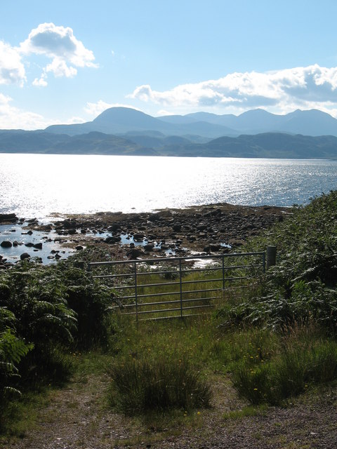
Image: © Gordon Hatton Taken: 30 Jul 2008
Access to the shore by a grassy track at Udrigle. Across a sunlit bay rises the Corbett of Sail Mhor, with An Teallach beyond.
Images are licensed for reuse under creativecommons.org/licenses/by-sa/2.0
Image Location
Latitude
57.87888
Longitude
-5.546892