No through road to Rundlesshill
Introduction
The photograph on this page of No through road to Rundlesshill by Pauline E as part of the Geograph project.
The Geograph project started in 2005 with the aim of publishing, organising and preserving representative images for every square kilometre of Great Britain, Ireland and the Isle of Man.

There are currently over 7.5m images from over 14,400 individuals and you can help contribute to the project by visiting https://www.geograph.org.uk
No through road to Rundlesshill
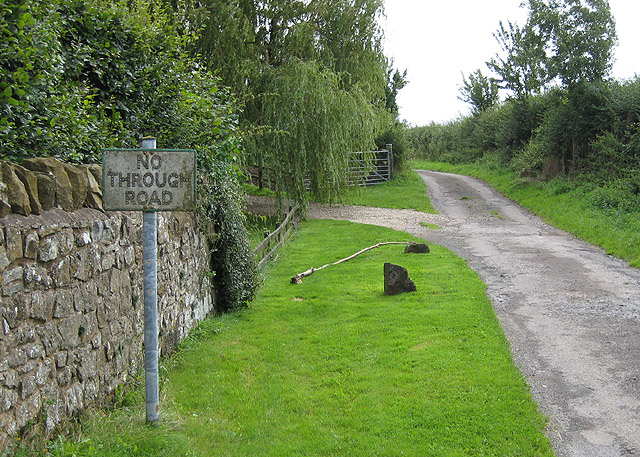
Image: © Pauline E Taken: 17 Aug 2008
Old style road sign still in use. The road becomes a track then a footpath to Highnam Woods.
Images are licensed for reuse under creativecommons.org/licenses/by-sa/2.0
Image Location
Latitude
51.887928
Longitude
-2.352303