Duxford Sick Quarters Building circa 1933
Introduction
The photograph on this page of Duxford Sick Quarters Building circa 1933 by Ron Gooding as part of the Geograph project.
The Geograph project started in 2005 with the aim of publishing, organising and preserving representative images for every square kilometre of Great Britain, Ireland and the Isle of Man.

There are currently over 7.5m images from over 14,400 individuals and you can help contribute to the project by visiting https://www.geograph.org.uk
Duxford Sick Quarters Building circa 1933
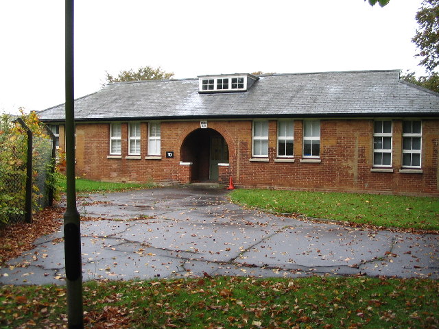
Image: © Ron Gooding Taken: 20 Oct 2004
many RAF Duxford Battle of Britain Pilots war wounds were initially treated here
Images are licensed for reuse under creativecommons.org/licenses/by-sa/2.0
Image Location


Leaflet Map data © OpenStreetMap
Latitude
52.094067
Longitude
0.125446