Arnold's Hill Farm
Introduction
The photograph on this page of Arnold's Hill Farm by Phil Williams as part of the Geograph project.
The Geograph project started in 2005 with the aim of publishing, organising and preserving representative images for every square kilometre of Great Britain, Ireland and the Isle of Man.

There are currently over 7.5m images from over 14,400 individuals and you can help contribute to the project by visiting https://www.geograph.org.uk
Arnold's Hill Farm
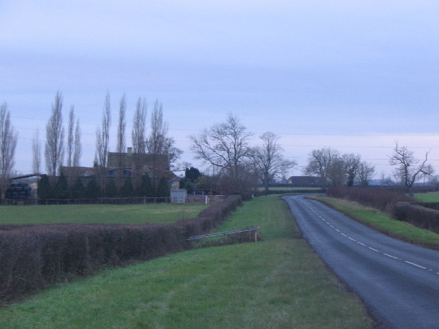
Image: © Phil Williams Taken: 18 Dec 2005
Looking west along the A366 from Arnold's Hill towards Arnold's Hill Farm. The railings in the middle distance mark the place where a small brook is culverted under the road.
Images are licensed for reuse under creativecommons.org/licenses/by-sa/2.0
Image Location


Leaflet Map data © OpenStreetMap
Latitude
51.314559
Longitude
-2.242432