Field near Botolph Claydon 2
Introduction
The photograph on this page of Field near Botolph Claydon 2 by Andy Gryce as part of the Geograph project.
The Geograph project started in 2005 with the aim of publishing, organising and preserving representative images for every square kilometre of Great Britain, Ireland and the Isle of Man.

There are currently over 7.5m images from over 14,400 individuals and you can help contribute to the project by visiting https://www.geograph.org.uk
Field near Botolph Claydon 2
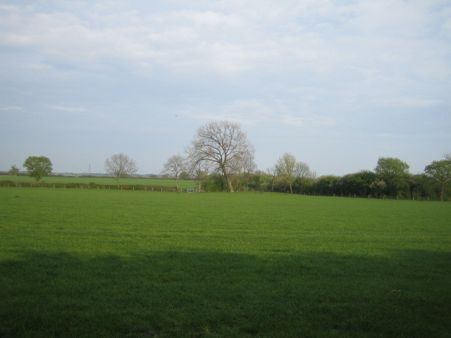
Image: © Andy Gryce Taken: 22 Apr 2007
This field lies east of the trackbed of the Aylesbury & Buckingham Railway, see Image A public footpath crosses the field to the gate in the distance to the left of the tree, though the path does not look well used. The footpath then goes past Middle Farm, and then to the village of North Marston.
Images are licensed for reuse under creativecommons.org/licenses/by-sa/2.0
Image Location
Latitude
51.908484
Longitude
-0.918424