Lord's Lane, Rastrick
Introduction
The photograph on this page of Lord's Lane, Rastrick by Humphrey Bolton as part of the Geograph project.
The Geograph project started in 2005 with the aim of publishing, organising and preserving representative images for every square kilometre of Great Britain, Ireland and the Isle of Man.

There are currently over 7.5m images from over 14,400 individuals and you can help contribute to the project by visiting https://www.geograph.org.uk
Lord's Lane, Rastrick
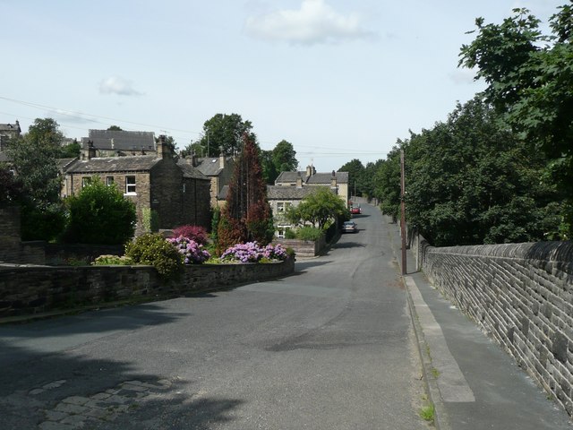
Image: © Humphrey Bolton Taken: 15 Aug 2008
This is taken from the end of the road. Perhaps it was intended that the road be extended, but this has not happened. Lower Newlands, and then Crossley Street are on the left, whilst over the wall to the right is a steep drop to the railway.
Images are licensed for reuse under creativecommons.org/licenses/by-sa/2.0
Image Location
Latitude
53.696931
Longitude
-1.775811