Lower Newlands, Rastrick
Introduction
The photograph on this page of Lower Newlands, Rastrick by Humphrey Bolton as part of the Geograph project.
The Geograph project started in 2005 with the aim of publishing, organising and preserving representative images for every square kilometre of Great Britain, Ireland and the Isle of Man.

There are currently over 7.5m images from over 14,400 individuals and you can help contribute to the project by visiting https://www.geograph.org.uk
Lower Newlands, Rastrick
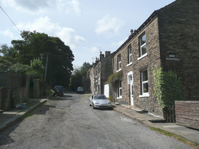
Image: © Humphrey Bolton Taken: 15 Aug 2008
This street and houses were built between 1850 and 1895. Although near to a group of fields called Newlands, the street was built in a field called Little Royd Close.
Images are licensed for reuse under creativecommons.org/licenses/by-sa/2.0
Image Location
Latitude
53.696035
Longitude
-1.77733