Lockup garages, Crossley Street, Rastrick
Introduction
The photograph on this page of Lockup garages, Crossley Street, Rastrick by Humphrey Bolton as part of the Geograph project.
The Geograph project started in 2005 with the aim of publishing, organising and preserving representative images for every square kilometre of Great Britain, Ireland and the Isle of Man.

There are currently over 7.5m images from over 14,400 individuals and you can help contribute to the project by visiting https://www.geograph.org.uk
Lockup garages, Crossley Street, Rastrick
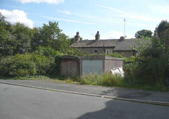
Image: © Humphrey Bolton Taken: 15 Aug 2008
The old maps suggest that there were houses on this site, but they had been pulled down by 1907, and it seems strange that the site has not yet been redeveloped.
Images are licensed for reuse under creativecommons.org/licenses/by-sa/2.0
Image Location
Latitude
53.696933
Longitude
-1.777325