Newlands Close, Rastrick
Introduction
The photograph on this page of Newlands Close, Rastrick by Humphrey Bolton as part of the Geograph project.
The Geograph project started in 2005 with the aim of publishing, organising and preserving representative images for every square kilometre of Great Britain, Ireland and the Isle of Man.

There are currently over 7.5m images from over 14,400 individuals and you can help contribute to the project by visiting https://www.geograph.org.uk
Newlands Close, Rastrick
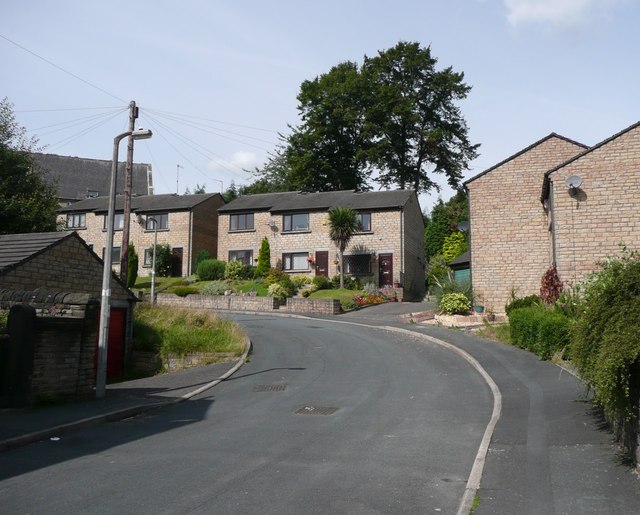
Image: © Humphrey Bolton Taken: 15 Aug 2008
When the houses on the west side of Crossley Street were built around 1900, a gap was left to give access to a triangular field behind. This was duly developed as Newlands Close in the late 20C (Newlands was the name of the field, or rather of a series of fields on the east side of Huddersfield Road).
Images are licensed for reuse under creativecommons.org/licenses/by-sa/2.0
Image Location
Latitude
53.696933
Longitude
-1.777325