Crossley Street, Rastrick
Introduction
The photograph on this page of Crossley Street, Rastrick by Humphrey Bolton as part of the Geograph project.
The Geograph project started in 2005 with the aim of publishing, organising and preserving representative images for every square kilometre of Great Britain, Ireland and the Isle of Man.

There are currently over 7.5m images from over 14,400 individuals and you can help contribute to the project by visiting https://www.geograph.org.uk
Crossley Street, Rastrick
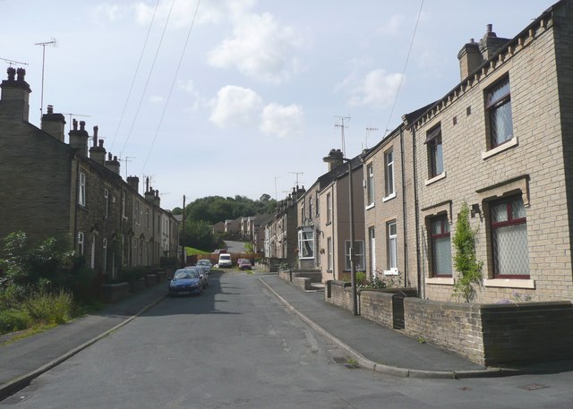
Image: © Humphrey Bolton Taken: 15 Aug 2008
The houses on the left are on the 1850 OS map, but with only a very narrow street. The wide street and the houses on the right were shown on the 1907 map but not the one of c.1895.
Images are licensed for reuse under creativecommons.org/licenses/by-sa/2.0
Image Location


Leaflet Map data © OpenStreetMap
Latitude
53.696933
Longitude
-1.777325