Willow Lane Packhorse Trail
Introduction
The photograph on this page of Willow Lane Packhorse Trail by Wendy North as part of the Geograph project.
The Geograph project started in 2005 with the aim of publishing, organising and preserving representative images for every square kilometre of Great Britain, Ireland and the Isle of Man.

There are currently over 7.5m images from over 14,400 individuals and you can help contribute to the project by visiting https://www.geograph.org.uk
Willow Lane Packhorse Trail
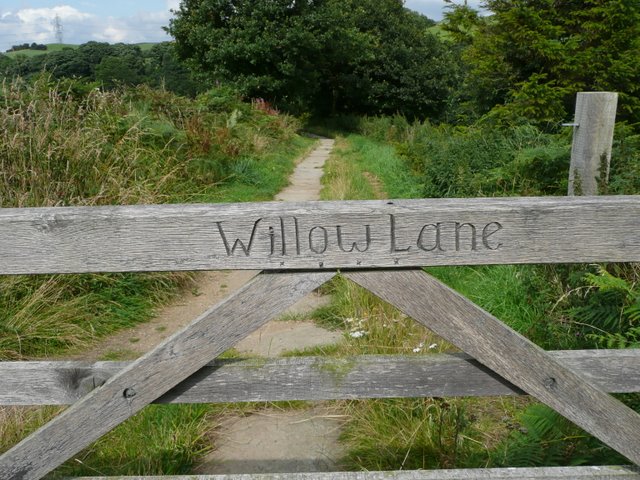
Image: © Wendy North Taken: 16 Aug 2008
The people of Oxspring have re-laid a number of `causey' stones in order to reinstate part of the packhorse trail. It would seem possible that the stones were originally laid in 1734 as part of a general upgrading of the `Salt Trail' from Leeds to Cheshire. See Image (Oxspring Heritage Group)
Images are licensed for reuse under creativecommons.org/licenses/by-sa/2.0
Image Location


Leaflet Map data © OpenStreetMap
Latitude
53.518501
Longitude
-1.599089