Gable end
Introduction
The photograph on this page of Gable end by Dave Fergusson as part of the Geograph project.
The Geograph project started in 2005 with the aim of publishing, organising and preserving representative images for every square kilometre of Great Britain, Ireland and the Isle of Man.

There are currently over 7.5m images from over 14,400 individuals and you can help contribute to the project by visiting https://www.geograph.org.uk
Gable end
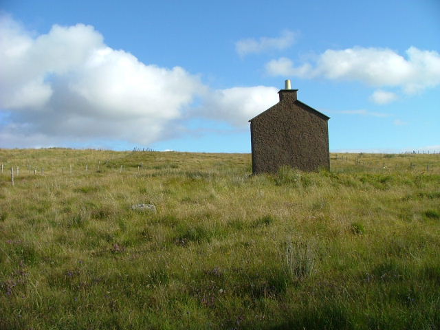
Image: © Dave Fergusson Taken: 13 Aug 2008
This is the only part left of a ruined house on grazing land above the village of Liurbost.
Images are licensed for reuse under creativecommons.org/licenses/by-sa/2.0
Image Location


Leaflet Map data © OpenStreetMap
Latitude
58.144505
Longitude
-6.475052