Prittlewell railway station
Introduction
The photograph on this page of Prittlewell railway station by Nigel Cox as part of the Geograph project.
The Geograph project started in 2005 with the aim of publishing, organising and preserving representative images for every square kilometre of Great Britain, Ireland and the Isle of Man.

There are currently over 7.5m images from over 14,400 individuals and you can help contribute to the project by visiting https://www.geograph.org.uk
Prittlewell railway station
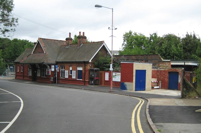
Image: © Nigel Cox Taken: 3 Aug 2008
This is the Station Approach view of the station, the platforms of which can be seen in Image (From a Geograph point of view the intersection of the 588000 Easting and 187000 Northing gridlines is in the road at the left side of the photograph opposite the end of the station building, meaning that the photo also shows parts of Image, Image, and Image!)
Images are licensed for reuse under creativecommons.org/licenses/by-sa/2.0
Image Location
Latitude
51.550465
Longitude
0.710475