Southend: Chandlers Way
Introduction
The photograph on this page of Southend: Chandlers Way by Nigel Cox as part of the Geograph project.
The Geograph project started in 2005 with the aim of publishing, organising and preserving representative images for every square kilometre of Great Britain, Ireland and the Isle of Man.

There are currently over 7.5m images from over 14,400 individuals and you can help contribute to the project by visiting https://www.geograph.org.uk
Southend: Chandlers Way
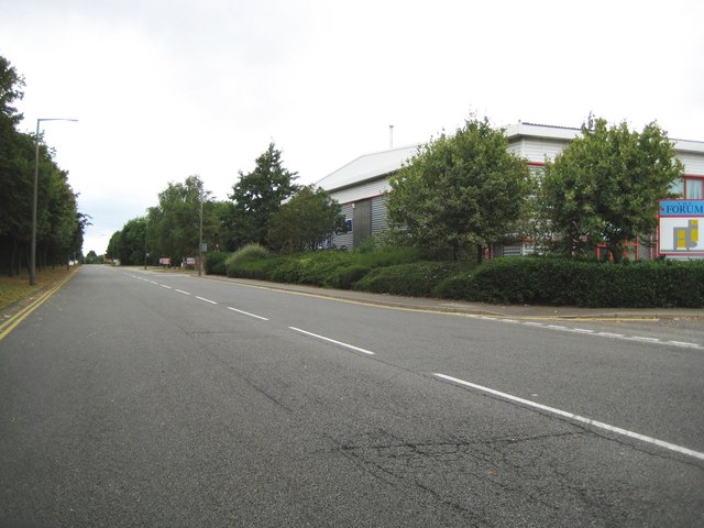
Image: © Nigel Cox Taken: 3 Aug 2008
The very broad expanse of Chandlers Way leads off Sutton Road into the Temple Farm industrial estate on the very edge of Southend. Despite its width the road has a double yellow line parking restriction on both sides. The names of the roads in the estate are of old occupations, such as wheelwrights, cordwainers, etc.. This road is also an example of what is shown on Ordnance Survey 1:50,000 scale maps with solid red circles as an "Other route with public access"
Images are licensed for reuse under creativecommons.org/licenses/by-sa/2.0
Image Location
Latitude
51.56087
Longitude
0.715567