Diglis Basin, Worcester
Introduction
The photograph on this page of Diglis Basin, Worcester by Philip Halling as part of the Geograph project.
The Geograph project started in 2005 with the aim of publishing, organising and preserving representative images for every square kilometre of Great Britain, Ireland and the Isle of Man.

There are currently over 7.5m images from over 14,400 individuals and you can help contribute to the project by visiting https://www.geograph.org.uk
Diglis Basin, Worcester
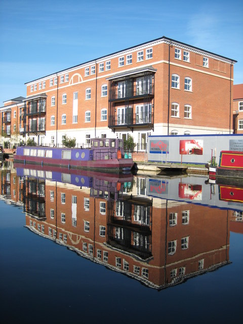
Image: © Philip Halling Taken: 15 Aug 2008
Over the last couple of years Diglis Basin has undergone a major redevelopment, pictured here is one of the new residential buildings mirrored in the still waters of the canal.
Images are licensed for reuse under creativecommons.org/licenses/by-sa/2.0
Image Location
Latitude
52.183682
Longitude
-2.220369