Farmland at Westley Bottom
Introduction
The photograph on this page of Farmland at Westley Bottom by Bob Jones as part of the Geograph project.
The Geograph project started in 2005 with the aim of publishing, organising and preserving representative images for every square kilometre of Great Britain, Ireland and the Isle of Man.

There are currently over 7.5m images from over 14,400 individuals and you can help contribute to the project by visiting https://www.geograph.org.uk
Farmland at Westley Bottom
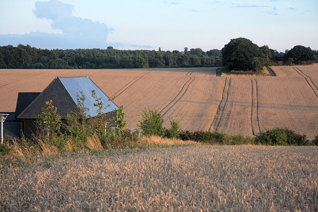
Image: © Bob Jones Taken: 14 Aug 2008
The building forms part of the National Trust's Eastern Regional HQ. The late evening sun is casting a warm glow over the unharvested fields of wheat.
Images are licensed for reuse under creativecommons.org/licenses/by-sa/2.0
Image Location


Leaflet Map data © OpenStreetMap
Latitude
52.242413
Longitude
0.666762