Choke point at Llysworney
Introduction
The photograph on this page of Choke point at Llysworney by Mick Lobb as part of the Geograph project.
The Geograph project started in 2005 with the aim of publishing, organising and preserving representative images for every square kilometre of Great Britain, Ireland and the Isle of Man.

There are currently over 7.5m images from over 14,400 individuals and you can help contribute to the project by visiting https://www.geograph.org.uk
Choke point at Llysworney
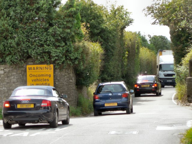
Image: © Mick Lobb Taken: 15 Aug 2008
The road through Llysworney forms a rat run between the A48 and industrial estates and the town of Llantwit Major. This view clearly supports villager's demands for a bypass as it shows a car reversing back to the village in the face of an oncoming lorry. The warning sign is of little use as it doesn't indicate precedence.
Images are licensed for reuse under creativecommons.org/licenses/by-sa/2.0
Image Location


Leaflet Map data © OpenStreetMap
Latitude
51.454649
Longitude
-3.49329